
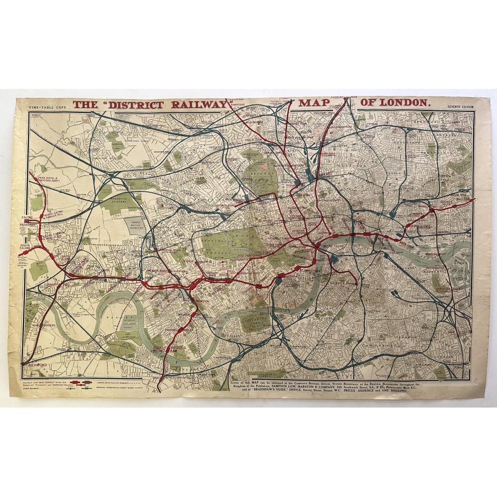
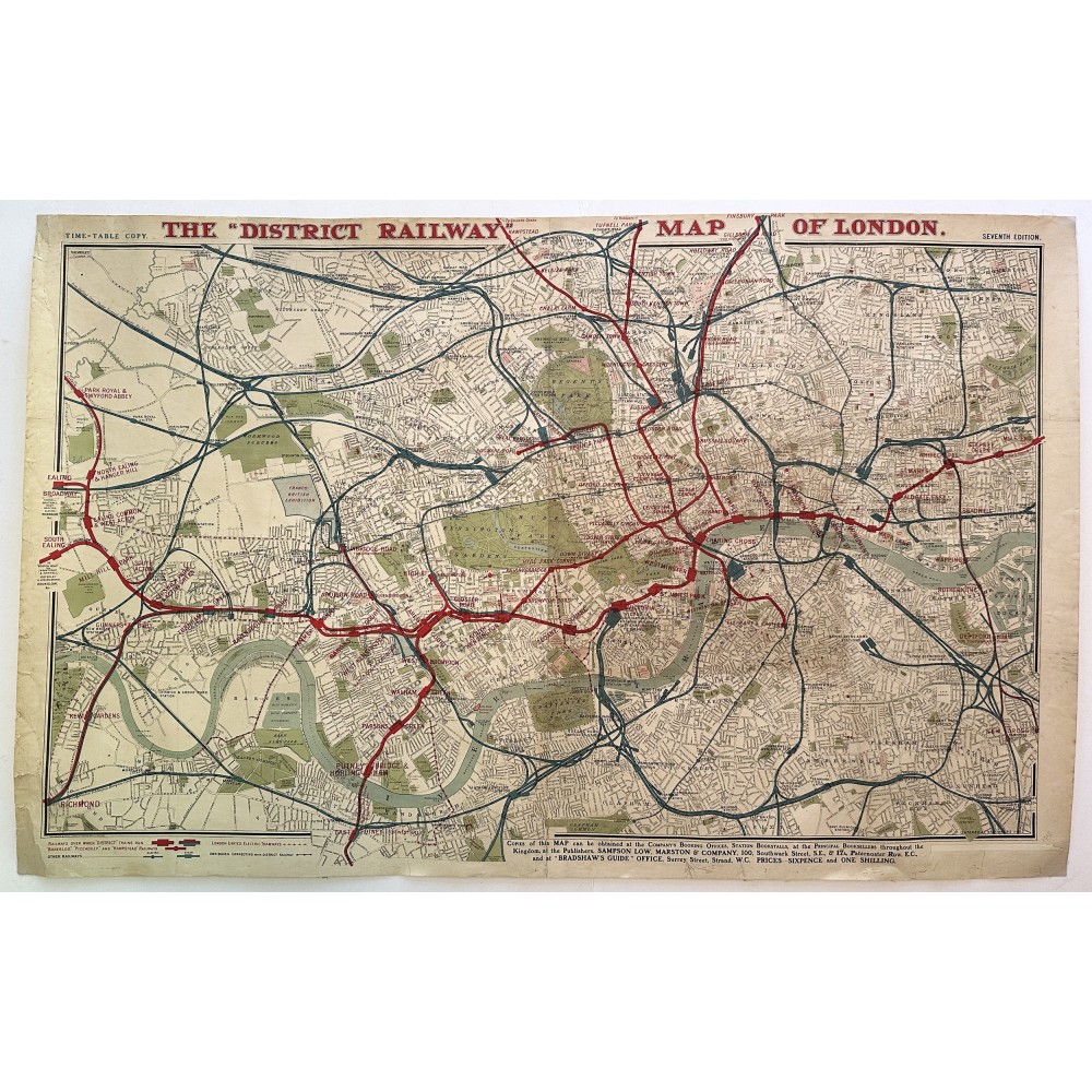
1908 The District Railway Map of London - original cloth-backed map
- Product Code: 1908 The District Railway Map of London
- Availability: In Stock
-
£825.00
This is an original cloth-backed large poster size map 'The District Railway Of London' dating from 1908 (Seventh Edition).
It is approximately 109cm (43 inches) wide x 69cm (27 inches) deep and shows The District Railway at the time of the Franco British Exhibition in 1908 which dates the map precisely.
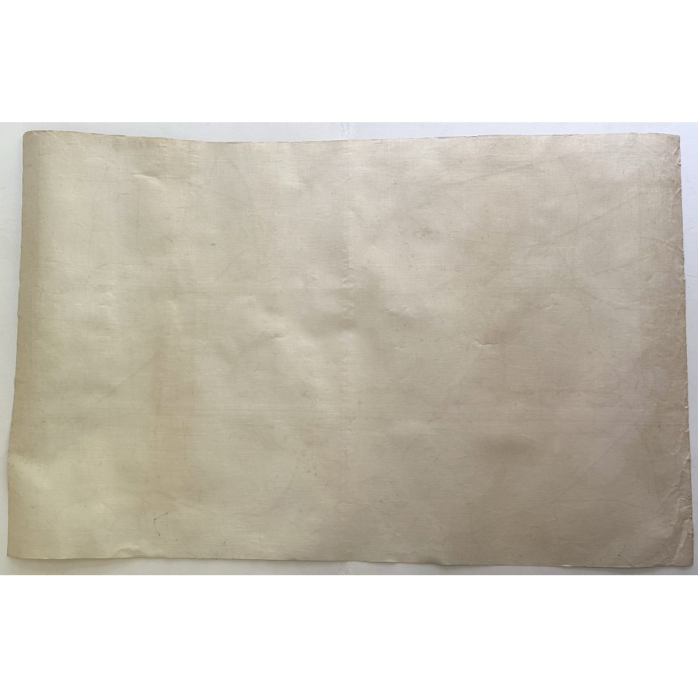
It is in remarkable condition for its 118 years' age although a little grubby in parts. It is rolled, and apart from some wear at the edges, there are no splits or tears, no doubt helped by being cloth mounted. There is a slight sign of a light crease in the centre, probably from before it was mounted on cloth, but it is hardly noticeable to the feel (see photos).
I will send this rolled in a strong cardboard tube POST FREE by Royal Mail Guaranteed Next Day Special Delivery.
If you have any questions about this item or want further photos please contact me before bidding.