
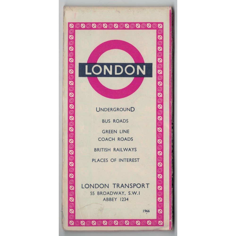
London Transport 'London' Map 1966 - Print ref. 266/346z/250M
- Product Code: London Transport 'London' Map 1966
- Availability: In Stock
-
£5.00
This is a London Transport 'London' Map 1966 - print reference 266/346z/250M.
It folds out to approximately 570mm wide x 440mm deep and shows the a map of London's Transport Systems' (bus roads, Underground and British Railways lines) on one side, and on the other side a 'Visitor's London' showing some of the famous places of interest.
It is in good condition (see photo).
I will send this map by Royal Mail letter post and will obtain a Certificate of Posting.