
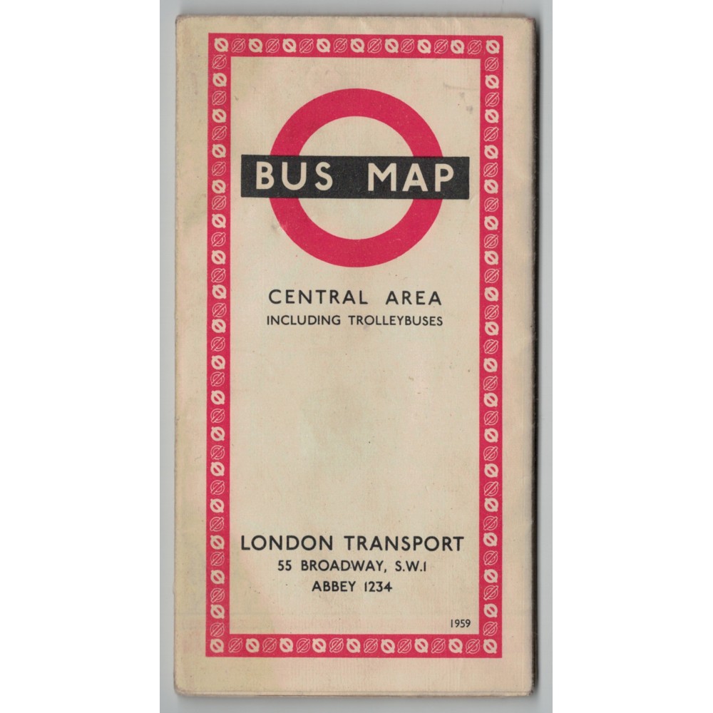
London Transport Central Bus Map 1959 - Print ref. 159/228E 250m No.1
- Product Code: London Transport Central Bus Map 1959 - Print ref. 159/228E
- Availability: In Stock
-
£4.50
This is a London Transport Central Area Bus Map including Trolleybuses 1959 - print reference 159/228E 250m No.1.
It folds out to approximately 570mm wide x 445mm deep and shows the bus and trolleybus routes in London on one side, and a central London area enlargement along with a list of routes on the other side.
It is in generally good condition although a little grubby on the front and rear covers (see photo).
I will send this map POST FREE by Royal Mail and will obtain a Certificate of Posting.