
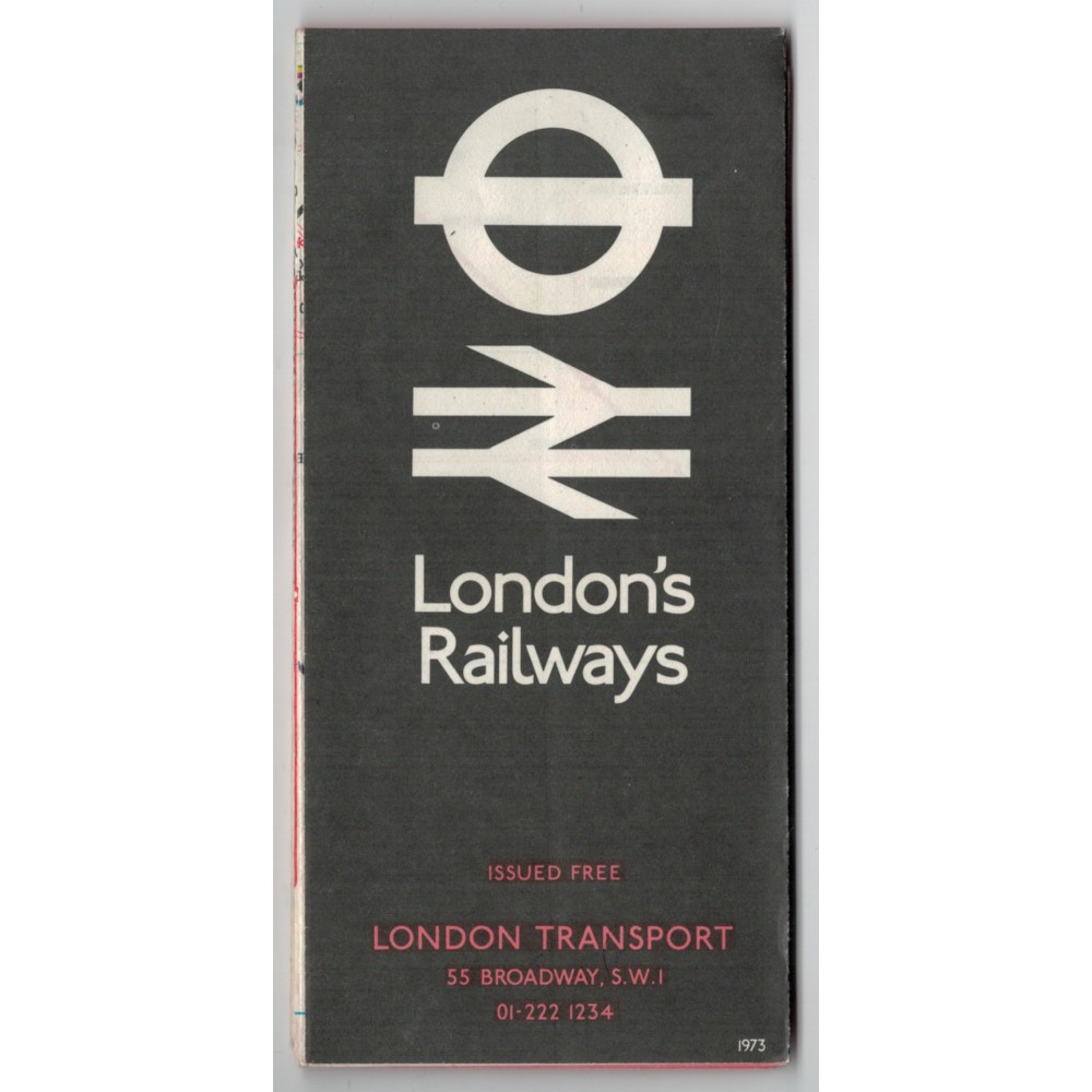
London's Railways Map 1973 - Print Ref. 173/M/300,000
- Product Code: London's Railways Map 1973 - Print Ref. 173/M/300.00
- Availability: In Stock
-
£4.00
This is a London Transport London's Railways Map dated 1973.
The print reference is 173/M/300,000.
The map folds out to approximately 560mm wide x 445mm deep to show the complete London Railways (British Rail and London Underground) network with a list of stations on one side, and on the reverse is an enlarged section of the Underground map with details of how to travel between the main line station
It is in good condition (see photo).
I will send this POST FREE by Royal Mail and will obtain a Certificate of Posting.